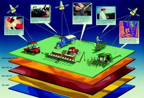
GIS and Remote sensing services
GIS: is a computer system that consists of software used to analyze the collected data and hardware that the software would operate in.
Remote Sensing: Remote sensing is the science of obtaining the physical properties of an area on earth without physically being there. It allows the users to capture, visualize and analyze objects and features on the earth’s surface.
So we use remote sensing and GIS technologies to provide services to our clients in the following fields:
1. Land use / Land use conversion
2. Soils and their erosion at the local and regional level
3. Forest and vegetation
4. Forest fire monitoring
5. Agriculture production assessment
6. Agriculture drought monitoring and assessment
7. Urban and regional planning
8. Water resources management
9. Geosciences & Groundwater
10. Atmospheric study
11. Cyclone and flood disaster management
12. Landslide, earthquake, and active fault delineation

